Wildfire Risk Management
The risk of wildfires is growing every year and the potential damages are colossal – make sure you’re prepared.
The risk of wildfires is growing every year and the potential damages are colossal – make sure you’re prepared.

Accurate, real-time data gives you clarity to make tough decisions.

For over 40 years we’ve been helping people anticipate, prepare for, and recover from wildfires.

We meet all US fire network standards – including sensor accuracy, calibration, and maintenance.

Situational Awareness
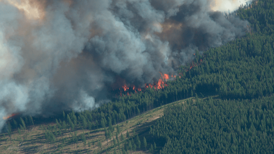
Every year, 35 million hectares – or about 1% of the world’s forests – are lost to wildfire. Recently in North America the area burnt by wildfire has increased sharply, while regions like Southeast Asia, Europe and South America have seen a rise in the number of land-clearing fires and other escaped wildfires in equatorial forests.
From sensors to software and beyond, AEM hands you the tools to see wildfires coming. Track weather changes, monitor conditions, and keep a close watch over locations that could be vulnerable to flash floods and debris flows in the aftermath.
make the right decision
The causes of wildfires are complex. Your system needs to monitor everything from lightning to rainfall to wind speeds. We capture all this data using a variety of sensor networks, then translate it into visualizations and insights, making it easier for you to make the right call.
Once a wildfire is ignited, the wildfire behavior will be determined by weather, topography and fuel (vegetation). Valuable weather data via weather stations in remote areas and/or attached to distribution lines can provide enhanced field awareness related to wildfires. This critical fire monitoring data can help protect people, infrastructure, assets and make our communities more resilient to wildfire threats.

Observations direct from the field
Installing a dedicated fire weather network can dramatically reduce how much you spend on suppressing wildfires while keeping members of your community protected more proactively than ever. With clear, accurate data, you can also see patterns emerge – and start to see where you should focus your resources.
Our wildfire weather monitoring stations are extremely rugged—they’re designed to handle extreme environments in remote locations—and designed with operational simplicity in mind.
We combine this approach to hardware with telemetry, autonomous power systems, heavy-duty enclosures, and mounting platforms. The result is a completely turnkey system designed for seamless integration, installed and supported by a single organization—offering a single source for obtaining support and service. A meteorological or hydrometeorological station can be configured with any telemetry, digital and analog sensors or other components required.

EMBRACE TRUE WILDFIRE RESILIENCE
AEM can provide an end-to-end wildfire solution that fits your budget and needs. We can help any community or business improve their approach to wildfire prevention, preparedness, ignition detection, spread prediction, and recovery by combining wildfire, lightning, hydrology, road weather and landslide monitoring technologies.

Get exceptionally accurate wildfire weather data. Our Remote Automated Weather Stations are trusted in some of the world’s harshest locations.
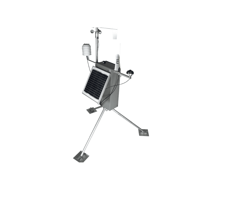
Our Quick Deploy Remote Automated Weather Station is the fire community’s most widely used weather station for prescribed burns and temporary monitoring applications.
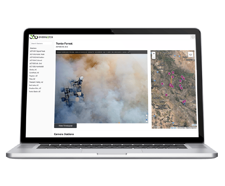
FTS360 integrates sensor, station, and camera data to provide complete situational awareness of current and potential wildfire events.

Confirm wildfire ignition, access imagery with weather overlay data, and see real-time threats to lives and property.

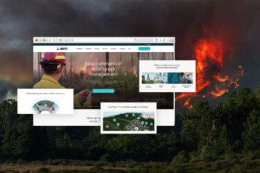
Webinar
We discuss how wildfires are a major challenge for utilities and local agencies managing Wildland Urban Interface (WUI). This free, one-hour learning session focuses on how organizations are addressing the wildfire event curve head-on with leading monitoring tools and software, including how to: