
The Alaska Fire Service is an organization under the Bureau of Land Management responsible for providing wildfire suppression services in addition to planning and monitoring fuels management.
LOCATION / TOPOGRAPHY
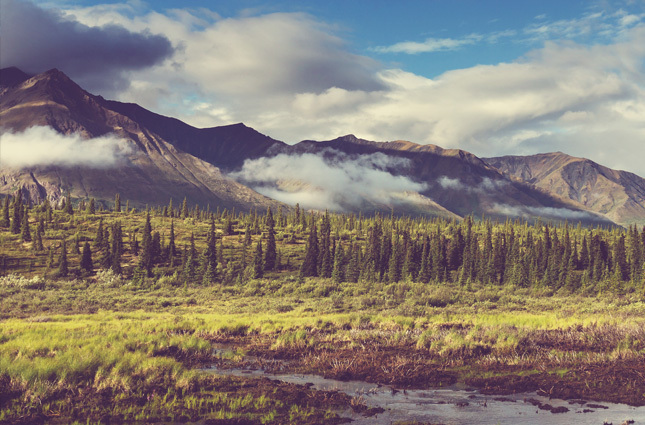
Situated in the northwest corner of the North American continent, Alaska is the largest U.S. state with a total land area of 1,717,854 km2. With a myriad of islands, many of which are volcanic, Alaska has 54,720 km of tidal shoreline.
Marshlands and wetland permafrost cover a third of the state, and there are over 100,000 glaciers in the region. The area is also mountainous, and the highest peak in North America, Mount McKinley, is found here.
The climate is mid-latitude oceanic in the southern panhandle and subarctic in the northern parts. Temperatures in the interior can reach 30°C in the summer months, and can fall to below -60°C in the winter. The northern regions experience long, cold winters and short, cool summers.
NETWORK DESCRIPTION
All of the stations are extremely remote deployments, and can only be accessed by helicopter. The stations are also equipped with dual heavy-duty batteries due to limited sunlight in the northern latitudes.
NUMBER OF FTS STATIONS
30
FIRE INDICES USED
NFDRS (National Fire Danger Rating System, U.S.)
TELEMETRY
GOES satellite systems
SENSORS
WIND SPEED / DIRECTION
AIR TEMPERATURE / RELATIVE HUMIDITY
RAIN GAUGE
SOLAR RADIATION
FUEL STICK