
A critical component of wildfire mitigation is the ability to assess and forecast the wildfire risk. This is fundamentally based on weather conditions in the context of overall risk to electric grid operations and business continuity. These weather variables are very dynamic and accurate forecasting requires processing large amounts of data from multiple sources. Many power utilities in high fire risk areas deploy weather stations, sensors and cameras to collect data and increase field awareness. They use a wide range of technologies to determine the wildfire risk and make informed decisions regarding the operation of the power system. FTS is very excited to be working with electric utility operators and to help them with their wildfire risk and mitigation efforts.
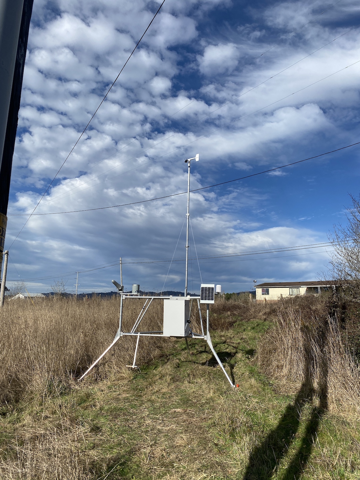
FTS is currently helping PacifiCorp to expand their fire weather data network to achieve greater station density and weather data granularity with installations of FTS remote automated weather stations – known by wildfire management agencies as ‘RAWS’. These reference weather stations have scientific grade sensors and are part of the USA’s National Fire Danger Rating System – a network of over 3,000 stations are active across the USA. By owning and operating a RAWS, PacifiCorp is participating in the national program and have increased access to available wildfire weather data from the complete network of these stations across the USA. These also include FTS RAWS station owned and operated by CalFIRE throughout California State to monitor fire weather and identify the areas with the highest probability of new fires based on wildfire risk potential.
FTS is also helping AltaLink to increase their situational awareness in their areas of interest, specifically with vegetation management and wildfire risk and mitigation planning. Using a combination of automated weather stations, augmented with automated pan-tilt-zoom camera technology – along their distribution lines and at substations to provide near real-time still imagery and streaming video with weather data overlays – gives AltaLink more visibility of their assets and infrastructure in the field and enhances the safety and efficiency of their grid operations.
FTS’s qualified technical sales team can provide a virtual product overview to demonstrate how weather stations and automated cameras can minimize disastrous wildfire outcomes in your areas of interest. For more information on how FTS can help expand your fire weather data network or take advantage of automated wildfire camera technology for complete situational awareness contact us.
Author: Shawn Bethel, Wildfire Mitigation Specialist, Director, Business Development, FTS Inc.