
When FTS and Vieux & Associates joined the Advanced Environmental Monitoring family of companies in 2018, they became natural partners in the delivery of advanced solutions in weather monitoring. Between Vieux’s radar rainfall and runoff software, products, and services, and FTS’s remote weather station technology, the sister companies provide a full suite of weather monitoring capabilities.
Recently we asked Vieux & Associates about the hydrologic modeling and forecasting systems they have developed, and specifically their leading-edge Gauge-Adjusted Radar Rainfall (GARR) technology.
What exactly is Gauge-Adjusted Radar Rainfall?
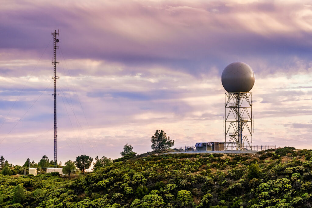
When you are trying to accurately measure precipitation across a region, you need something to help you detect the variability between rain gauges, and we use weather radar. It is probably the best source of information for capturing that spatial variability between the gauges. Rain gauges do not know how much fell between them—they just know what fell at their spot. Our technology captures the data from both weather radar and rain gauge networks to give an accurate picture.
How is GARR usually applied? Is it a one-time service that organizations use to understand their rain monitoring network? For instance, after a specific weather event? Or is it used more commonly for scheduled reporting?
Often, we start working with clients by doing an analysis of a single event or a series of events, or a monitoring period, then it grows into a continuous year-round service. That continuous data can build a useful database for responding to longer term trends—such as how many 50-year events have happened in the last five years—and addressing questions you might not be able to answer if you are only analyzing single events.
If you have a monitoring system set up and operating, then you are ready for whatever comes your way, and you are not guessing.
Our service could also be applied one-time to understand your network—you could analyze the data after an event and say we need more gauges here or there, and we can get rid of this one and that one. But with most of our clients, we provide continuous rainfall information with the near-real time product, then an end-of-month quality control product.
Can GARR information be used to predict how an area might react to high rains, like flooding in certain neighbourhoods?
Absolutely. One of the reasons we got into developing our GARR technology was to look at rainfall through the eyes of gridded physics-based hydrology. It happens to be a very good way to characterize and predict flooding in neighbourhoods or a river.
Most of our clients use our GARR product for whatever models they have set up, which might be for wet weather sewer types of applications, or pipe models, or maybe storm water applications that they have in place.
But we also have large organizations that contract us not only for GARR, but for an operational model that uses the rainfall data to predict flooding as well.
What is the spatial and temporal resolution of the GARR product?
The most practical spatial and temporal resolution is one-by-one kilometre (0.6 by 0.6 miles)
and five minutes. We know that we are going to get better results with single radars than mosaic products. A grid like that makes it possible to use a single radar and fill in with the neighbouring radar if that first radar fails.
National organizations that are doing broadcast meteorology often want one big picture of the entire country, so they must make data compromises. Since we’re usually focused on a much smaller client basin, we do not we have to make those compromises. By being careful about how we use multiple radars, we create a better product.
How many rain gauge sensors are needed in one area to get the best coverage in rainfall data?
There are a couple of concepts behind that. One is the complexity of the region where we are going to be detecting the rainfall. If it is mountainous or coastal, there can be a need for more rain gauges than in other areas. Another consideration is how that data is going to be used. Do you need eighty percent of the rainfall events to be well characterized? Ninety percent? Ninety-nine percent?
Rainfall can be very complex as well, and some storms are easier to characterize than others. Everyone is familiar with the complexity behind hurricanes, because sometimes they are predicted quite well and they fall as people expect them to, and other times they are less easy to characterize. Each rainfall event is unique.
If you want to be able to measure rainfall accurately with just a rain gauge network, then you need a lot of gauges. But if you are going to use rain gauges in combination with radar, you need fewer gauges. A sparser network of rain gauges can work quite well if we have good radar coverage and combine the two.
How does the accuracy of radar forecasting differ for rain vs snow?
The quantification of snow by radar isn’t as good. Snow drifts more in the atmosphere, so the comparison to a point on the ground is not as reliable. Also, snow and frozen precipitation affects sensors differently from rain.
It also causes problems with rain gauges. Unless it is a heated gauge or an all-weather precipitation gauge, the snow or frozen precipitation is just going to fill up in the funnel and sit there, so the gauge isn’t going to measure the precipitation concurrently with the radar, because it’s going to have to melt first.
How much does the bias correction for the radar change from event to event? Do you also do a dynamic bias correction in these situations by changing the Z/R relationship?
We have a dynamic bias correction. Sometimes when people do bias correction, they take some kind of instrument and adjust it, so it’s not biased anymore—it is like setting it and then forgetting it. You can’t do that with radar because it depends on the drop size distribution, the average drops, and their range of sizes.
Raindrops might get larger during the storm event, and after the squall line passes, they might become finer but much more numerous. The event size is generally changing in space and time in the event across the area that you are trying to measure, so of course you have to adjust it dynamically. We do a bias adjustment at each time stamp.
How is virga considered? (Virga is an observable streak or shaft of precipitation falling from a cloud that evaporates or sublimates before reaching the ground.)
That is a somewhat odd case that really applies to arid or desert areas. The radar might detect rainfall in the atmosphere, aloft in the clouds, and it thinks there is rainfall happening, but by the time it reaches the ground, it is all evaporated because it passed through very hot air near the surface.
Likewise, there can be a problem where the radar does not detect the rainfall because it overshoots it, but there is rainfall at ground level that the gauges are detecting.
We are generally looking at hydrologic applications, and if rainfall isn’t actually hitting the ground, there is probably not a big hydrologic response. But it is true that you might see a return on the radar when rainfall is not actually happening. We have some complex algorithms that can mitigate those in any case—either the radar missing the rainfall, or the radar detecting rainfall that is not there.
Do you think synthetic precipitation data coming from 5G mobile towers signal attenuation can play a better role than traditional rain gauge networks?
There is a lot of research out there, looking at mobile towers signal attenuation using cell or cable transmissions. At this point weather radar is providing more reliable and spatially representative data. The U.S. and Canada have done a great job in the availability of both radar data and having widespread rain gauge networks.
To make signal attenuation an effective data source, you would have to have a lot of towers and coverage, because it is only going to give you some information along the line of sight between two antennas. Then you must get access to that data from the service providers.
Can GARR be used to help with optimal placement of a rain gauge in a network?
We have done several studies to evaluate networks where we take a single rain gauge out of the analysis to see how it impacts our end product. For instance, one state client wanted to help the weather service in flood forecasting, so we did a network analysis to highlight areas that needed more rain gauges.
The problem is that sometimes rain gauges are placed on a project basis, so their spacing and coverage might not be optimal for larger scale monitoring. In general, we like an evenly distributed network of rain gauges. That is assuming a flat surface, or at least not a very complex terrain. Of course, when you get coastal gradients and mountains, there might be a need for a higher density.
What sort of information is included in a GARR report?
The things that we would include in a monthly report would be the rain gauges that performed well and those that were malfunctioning or did not pass our quality control criteria. We also include accuracy statistics, like how well the final product agreed with the rain gauges. This helps characterize statistically what the quality of the product is.
We include graphs and accuracy statistics, and how much bias correction was applied during which period. One outcome in reading a report might be the realization that some gauges are consistently malfunctioning, so it is time to go out and check them.
Some organizations are ecstatic to have this kind of monthly summary, indicating any gauges that need maintenance, while others might just ignore it if they are less concerned about maintenance of non-critical gauges.
GARR provides a complete solution
Between GARR and FTS’s remote weather station technology, organizations concerned with accurate rainfall or flood monitoring can secure the full range of capabilities. To learn more about GARR and how it can provide greater situational awareness in your monitoring operations, contact us.