Collecting and transmitting environmental data via GOES (Geostationary Operational Environmental Satellite) has been the defacto choice for Western Hemisphere Earth observations since NASA and NOAA jointly sent up the first satellites in 1966. The GOES network provides an economical method of monitoring our environment, as once the transmitter is purchased, there is no cost to broadcast the data.

By combining scheduled and random transmissions, organizations can monitor environmental events in near real-time and respond appropriately. This is especially important during threatening events such as wildland fires and flooding. The GOES network does not depend on communication infrastructure that is affected by ground weather conditions, making it the optimum method for ground observations because it can operate reliably in remote regions where other communication technologies struggle.
The typical transmission path for data collected in the field is DCP (Data Collection Platform) to Satellite to Wallops LRGS (Local Readout Ground Station) where it is stored for up to 90 days. So long as the NESDIS ID of the DCP is known, any approved organization with access to the LRGS and can retrieve the data on a scheduled basis. This is how FTS has been obtaining GOES data effectively for 25 years. Nonetheless, this method can be less efficient as the number of stations increases into the thousands and a latency in data retrieval may develop.
To address this, FTS has invested in technology that accelerates the GOES data collection process to real-time. By implementing our own HRIT (High-Rate Information Transmission) infrastructure, we can ensure that data is retrieved the moment it is available and provide assurance of secure storage with their FTS360 subscription. In simplified terms, we mimic the LRGS by installing our own satellite dish that receives transmissions by Wallops rebroadcasted on a digital feed to the HRIT via the same GOES satellites. Rather than having to request the data using a polling mechanism, we have turned the operation into a push and now receive the newest data within seconds of it being transmitted.
With reliability always top of mind, FTS has invested in ample battery back-up, as well as multiple options to ensure the HRIT data arrives in the event of a power or Internet outage. We have also retained calling the LRGS for redundancy purposes to ensure data integrity.
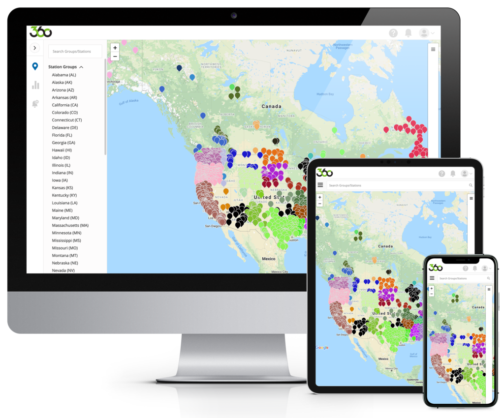
The investment in multiple data telemetry paths including cellular, Iridium and now high-speed GOES aligns with FTS’ plan to bring real-time situational awareness to the FTS360 platform. Alerts can now be sent as the data is sampled, and FTS360 subscribers have an up to the minute picture of current weather conditions. All of this built on a secure and easily accessible cloud platform.
To learn more about HRIT or our FTS360 platform contact us.
