
Agency under the United States Forest Service that manages approximately 1.2 million acres of forests in the southeastern state of Florida.
LOCATION / TOPOGRAPHY
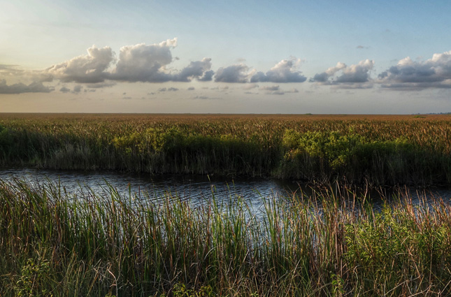
The terrain in Florida is mainly composed of rolling grasslands, swamps, and marshlands with intricate ecosystems. The forest cover is a mix of deciduous and coniferous trees, in addition to tropical trees and vegetation. Bordering the Gulf of Mexico on its east and southern coasts, much of the state is at or near sea level.
The climate is mostly humid subtropical, and in the southern regions it is tropical with high humidity and precipitation levels throughout the year. Severe weather, tropical storms, and hurricanes are not uncommon because much of the state is surrounded by the ocean.
NETWORK DESCRIPTION
The National Forests in Florida fire RAWS network is instrumental in protecting many of Florida’s ecological reserves, national parks, and grasslands. The network consists of both fixed and portable stations, the latter of which play a key role in firefighter safety during prescribed burns.
NUMBER OF FTS STATIONS
12 (10 Fixed, 2 Portable)
FIRE INDICES USED
NFDRS (National Fire Danger Rating System, U.S.)
TELEMETRY
GOES satellite systems
Landline modem
SENSORS
WIND SPEED / DIRECTION
AIR TEMPERATURE / RELATIVE HUMIDITY
RAIN GAUGE
SOLAR RADIATION
FUEL STICK