
Government agency of the Canadian province of Ontario that is responsible for managing and protecting its natural resources, maintaining provincial parks, and monitoring and suppressing forest fires.
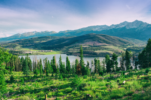
LOCATION / TOPOGRAPHY
Most of the territory covered by the National Park Service is located in the western and eastern states, as well as in Alaska. On the Atlantic coast, parks areas are mainly in coastal plains with deciduous and broad-leaf forests. Tropical and mixed forest cover are characteristic of the southern states.
Parks in the western states are largely in the Rocky and Coastal mountain ranges, some with heavy forest cover. In the Great Basin, parks primarily have rocky terrain with coniferous forests, and in Alaska, the terrain is both mountainous and taiga with boreal forest cover.
The climate varies from subarctic in Alaska, tropical to subtropical in southeast, to Mediterranean and temperate along the West coast.
NETWORK DESCRIPTION
Canada’s second largest fire monitoring network, with data contributing towards provincial meteorological and flood monitoring. Stations used for both climate and fire weather monitoring are equipped with additional sensors.
NUMBER OF FTS STATIONS
86 (80 Fixed, 6 Portable)
FIRE INDICES USED
NFDRS (National Fire Danger Rating System, U.S.)
TELEMETRY
GOES satellite systems
Voice-over Radio (AirTalk)
SENSORS
WIND SPEED / DIRECTION
AIR TEMPERATURE / RELATIVE HUMIDITY
RAIN GAUGE
SOLAR RADIATION
FUEL STICK